


The Permanent version of the Staffordshire Peak Calendar event with one slight difference – there are no Info controls so we just drop into Bollington for a shop receipt.
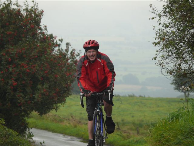
This ride climbs all the way (except when you are descending steeply) so you will need good legs and even better brakes, but the views are well worth the effort.
Gun Hill
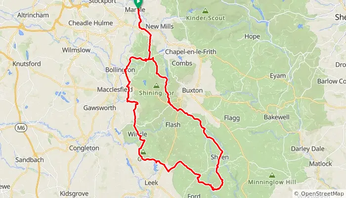
See Kettleshulme, the Goyt valley, Axe Edge, the Manifold Valley at Wetton, and the Mermaid. Be warned that it’s quite isolated in places (except perhaps Tittesworth on a sunny weekend) and exposed, so make sure you carry suitable clothing and have some bonk rations in your saddlebag.
Not all controls have 24/7 options so you should choose your start time accordingly. Or use Ebrevet or you could also record your progress as a GPX file and submit that for validation.
The return to Marple via Meerbrook and Gun Moor, Kerridge and Bakestonedale.
NB you will be asked for the ride date on the online entry form but this can be amended prior to setting off
or anywhere on route if using eBrevet or GPX
 ⟺Distance: 110 km
Max elevation: 510m
AAA points: 2.75
3hr 40min at 30kph
11hr 00min at 10kph
| 50km: | Wetton Mill |
| 65km: | Meerbrook |
| 91km: | Bollington |
| 108km: | Marple |